Stage 1: Patterdale to St Sunday Crag
Cross the road from the Patterdale carpark and take the south-westbound footpath immediately opposite. The path weaves its way around a building and some small crags, but quickly emerges onto the base of the fell. Stick on the path just above the fell boundary for around 800 m, until you reach a footpath and a narrow gate. Take the path uphill (not through the gate): the path is steep, but there is an odd tree to provide a rest from the sun (if you’re lucky enough with the weather!). After a craggy section with beautiful views over your shoulder, the path flattens slightly as it makes its way up and over Birks, and then steepens slightly up St Sunday itself.
Stage 2: Fairfield and Hartsop above How
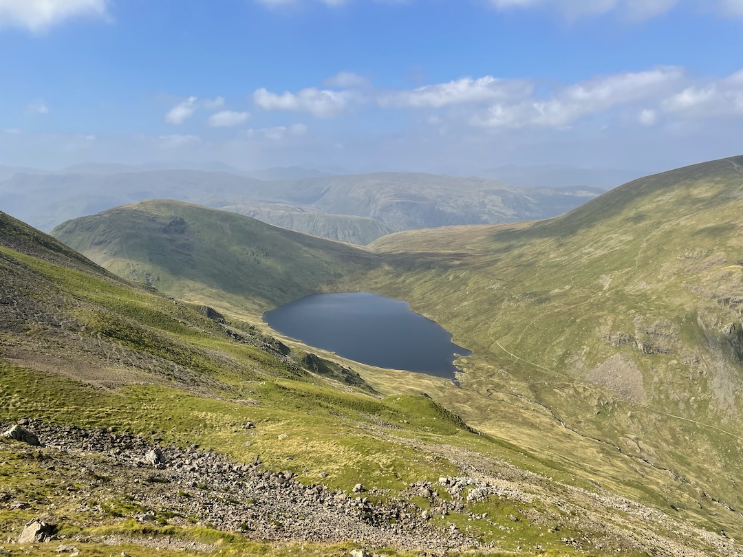
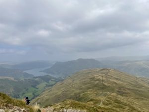
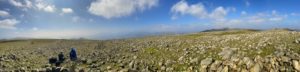
The path from St Sunday Crag to Fairfield is good and well-trodden, with one semi-scrambling section towards the end, beyond the saddle of Deepdale Hause. The views from Fairfield down to Grisedale Tarn to the west and Deepdale to the east are fantastic, as are the views of surrounding peaks (Seat Sandal and Hart Crag). At Fairfield, keep to the leftmost ridge as you approach, which heads west. This leads to Hart Crag, where you again keep left along the ridge, which soon becomes Hartsop above How.
Stage 3: Hartsop to the Car
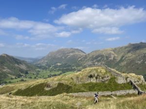
The path along Hartsop above How is not particularly well-defined, but is easy to follow (just stick to the ridge). It descends relatively slowly, eventually breaking through the fell boundary and pit into a field. Cross the field diagonally, down to a gate in the corner (near where the stream meets the road). From here, you can turn left and walk straight back to the car park along the road, or take the footpath to the left after the bridge and after about 200 m turn right, past Bridgend. The path soon re-joins the road, which you still have to walk along for around 1 km to get back to where we started.
Leave a Reply