Stage 1: Mickleden
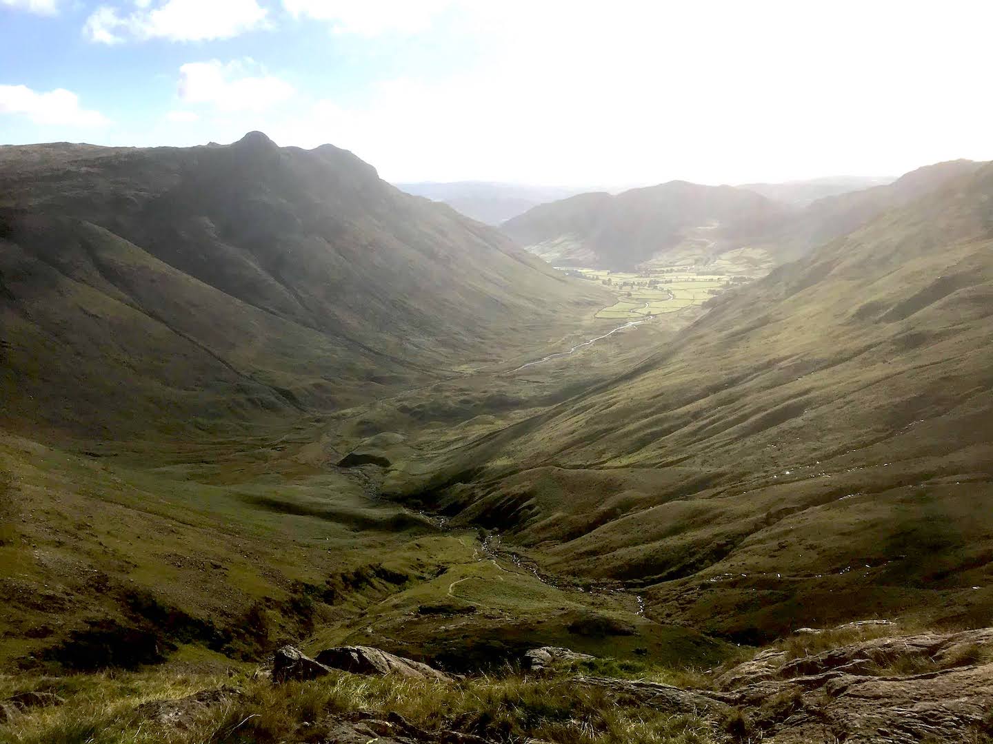
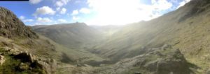
The walk begins along the floor of the Langdale valley. Assuming you parked at the National Trust car park, set off westwards along the Cumbrian Way to the Old Dungeon Gill pub. At this point stick to the Cumbrian Way and not the tarmac road through the fields (it is clearly signed). The next few kilometres are relatively flat, on a gravelled path along the upper reaches of Great Langdale (known as Mickleden). When you reach a square stone sheepfold, cross the stream, leaving the Cumbria Way. A sign is hand-painted onto a stone: head in the direction of Esk Pike.
Stage 2: Angle Tarn and Esk Hause
The path will lead you up a long ascent, from which there are fantastic views over Langdale, the Langdale Pikes and crags opposite. The path here is fairly clear. Head upwards until the saddle between Hanging Knotts on the left and Rosset Pike on the right. From here, head straight down to Angle Tarn (a great spot for an opportunistic swim) and straight on uo the other side, until you reach the saddle that is Esk Hause (with a well – built cross-shaped wind shelter). From Esk Hause, take the most steeply climbing path (to your left as you arrive), which leaves Great End to your right.
Stage 3: Crags and Scafell Pike
The ground under foot here becomes very boulder-strewn, and the only path markers are the regular cairns. Where visible, the path is well-trodden as it descends into the small valley between Ill Crag and Broad Crag, and then down Broad Crag into Crag Col. From here, there is one last pull straight upwards to the summit of Scafell Pike – hopefully for excellent views.

Stage 4: Way Back and Options to Extend
The way back down is exactly the same, repeating the way up but in reverse. If you’re feeling up to it, you can even extend the walk back by going over Esk Pike – and even Bow Fell, Crinkle Crags and Pike of Blisco for a 25km+ round trip.
Leave a Reply