Stage 1: In Langdale
Turn tight out of the car park onto the road along Great Langdale for about 100 m, before turning left along a track across the fields. The track leads over a small bridge and up to Side House, where we turn right along the permitted path parallel to the valley floor. Follow this path westwards until it leads down into the back of the National Trust campsite, and then make your way west through the campsite and back onto the lane (a few hundred metres to your right is Langdale’s second car park, so it you started there simply follow the road). You can skip this entire stage by just walking straight up the road but it extends the road section to over 1 km.
Stage 2: Campsite to Pike of Blisco
Turn left along the lane, which leads along the edge of a field, goes between some buildings and over a cattle grid, then begins to climb. After a few hundred metres you will see a path leaving the road to the right, going up a valley on the Pike of Blisco, which we take. The path is well-trodden and wide at first, so easy to find. It begins to climb and fords several small streams (one of which can be hard to cross keeping feet dry in winter or if the weather has been particularly wet). There is only one path from here to the top, but it can split and branch at points as it makes its way over and around crags and outcrops. There are several short mini-scrambles which are not difficult (if you’re on the path) but add some interest to the route.
Stage 3: Pike to Three Tarns Hause
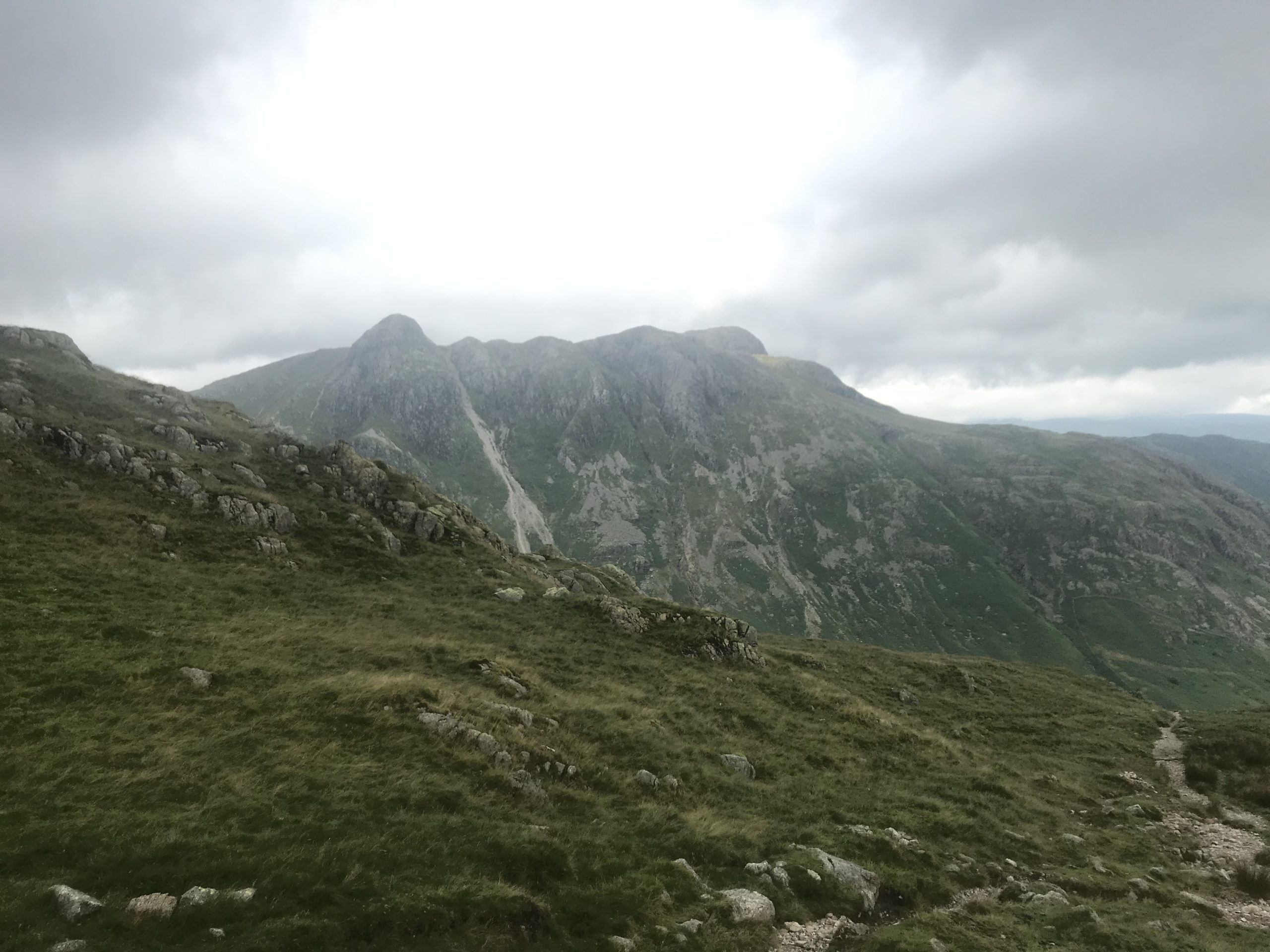
Pike of Blisco has two peaks, with the more northerly of the two (the one you reach second) being the taller. Getting off the summit and onto the correct path can be a challenge for which GPS is helpful, but again there is only one path that leads remotely in the right direction (to the south-west) and once found it is easy to follow. It makes its way down to near Red Tarn, before continuing across a small beck (Browney Gill) and up Great Knott. From here the path makes its way across the wide green slope up to Crinkle Crags, which then provide some good low-level scrambling with relatively easy route finding (so long as the visibility is good). The crags and outcrops continue all the way down to Three Tarns.
Stage 4: From Three Tarns
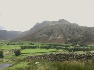
From Three Tarns, two routes lead eastwards back to Langdale: the more interesting, featuring Hell Gill, takes you down the steep valley below Crinkle Crags and should be avoided in bad weather, while the other option keeps to the ridge of Earing Crag and The Band. The latter is easy to follow (though with some rocky sections), and can make a good way off the hill in bad weather (as I discovered). Both routes take a single path down to Oxendale, with the gill route crossing several small streams on the way. Once on the valley floor, make your way through Stool End (a farm), and along their drive to the road. From here, return to the cars is simply along the road.
Leave a Reply