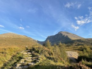
Stage 1: Car Park to the CIC Hut
Leave the car park by the track to the south-east. It begins to rise and curve to the right – follow it broadly south as it winds its way to the banks of the stream (Allt a’Mhuilinn), which the path then follows uphill all the way to the hut. Once out of the plantations (some of which have recently been felled), the path goes over a style on a high deer fence, and is then easy to follow all the way up to the hut (keep to the left-hand side of the stream all the way). The hut serves as a Mountain Rescue station, and it is also possible to stay there. It has a good supply of water coming from a pipe that snakes across the crags above.
Stage 2: The Ledge Route
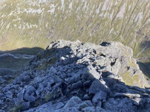
From the hut, the steep bulk of Càrn Dearg to the west is an imposing site – and all the more so since we’re going up it. The Ledge Route begins due west from the hut. A GPS-enabled device is helpful here, but as always, your senses are better than the GPX file: proceed with caution and bear in mind that the GPX file may not be correct. The route passes to the left of a buttress and then over the top of it, before making its way into and then out of a steep ravine (beware not to lose too much altitude in the ravine, or be tempted to follow it upstream: if those seem like the only course of action, you’re probably in the wrong place). This leads you up onto the Ledge proper, from where you climb up the nose of a buttress and eventually out onto Càrn Dearg. Turn left and rejoin the tourist track (to the summit of Ben Nevis) where convenient.
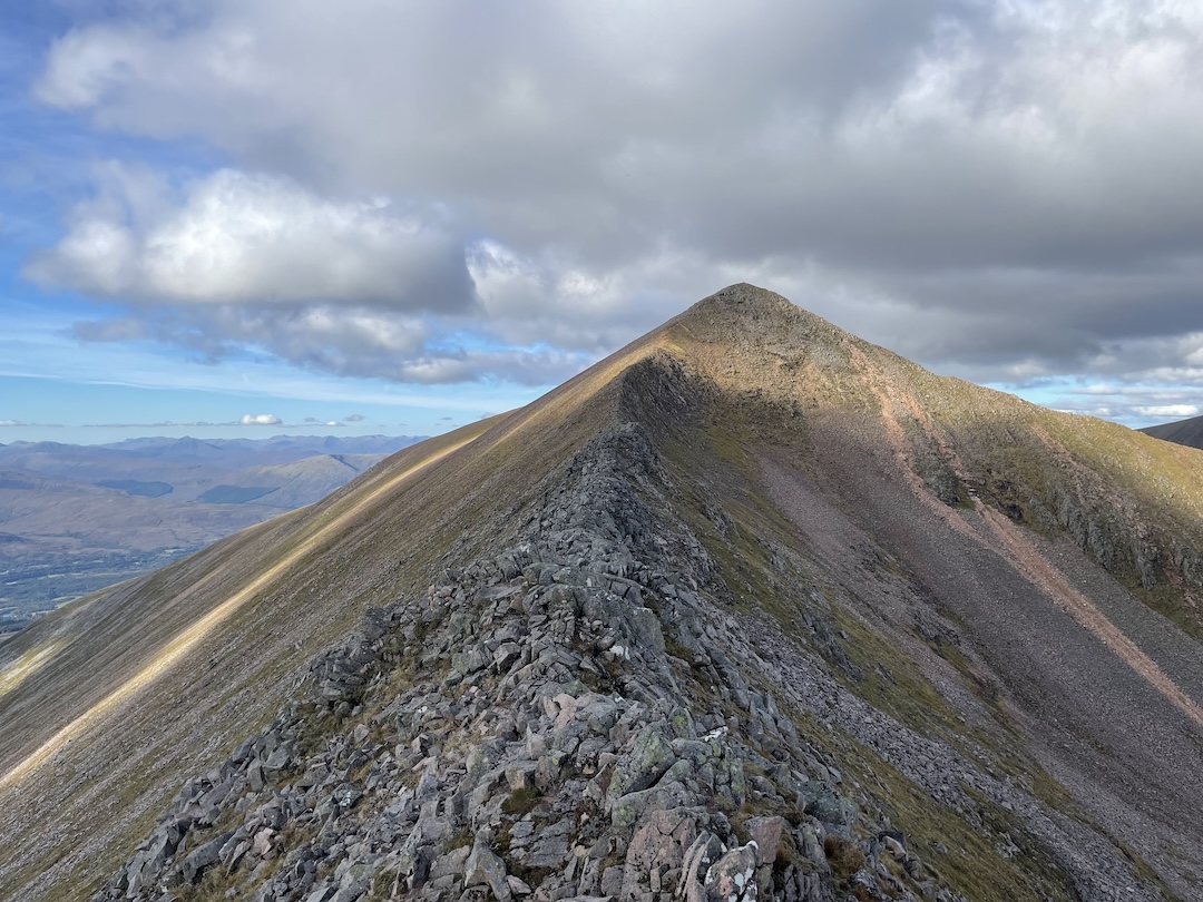
Stage 3: The Ben and the CMD Arête
After the summit of Ben Nevis, continue south-eastwards (not northeast – it looks tempting but is a dead end!). The path curves round to the left and leads down a steep slope of large scree to a saddle (with a cairn), from where the CMD Arête begins. It is a straightforward scramble, with good grade-1 moments to be had on the very ridge and a slightly easier path if you drop down off the ridge to the side. It leads you up Càrn Mòr Dearg (‘CMD’) and subsequently Càrn Dearg Meadhonach.

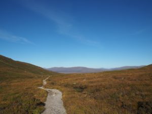
Stage 4: The Return
At this point the paths become confused and often vanish – but, somewhere, there is a path that leads down off CMD and back to the path in the valley. The terrain is easy walking even without a path (and the path can become muddy at times) so finding it is not absolutely critical. Once you rejoin the valley path simply retrace your steps to the car park.
Leave a Reply