Stage 1: Ullswater and Loadpot Hill
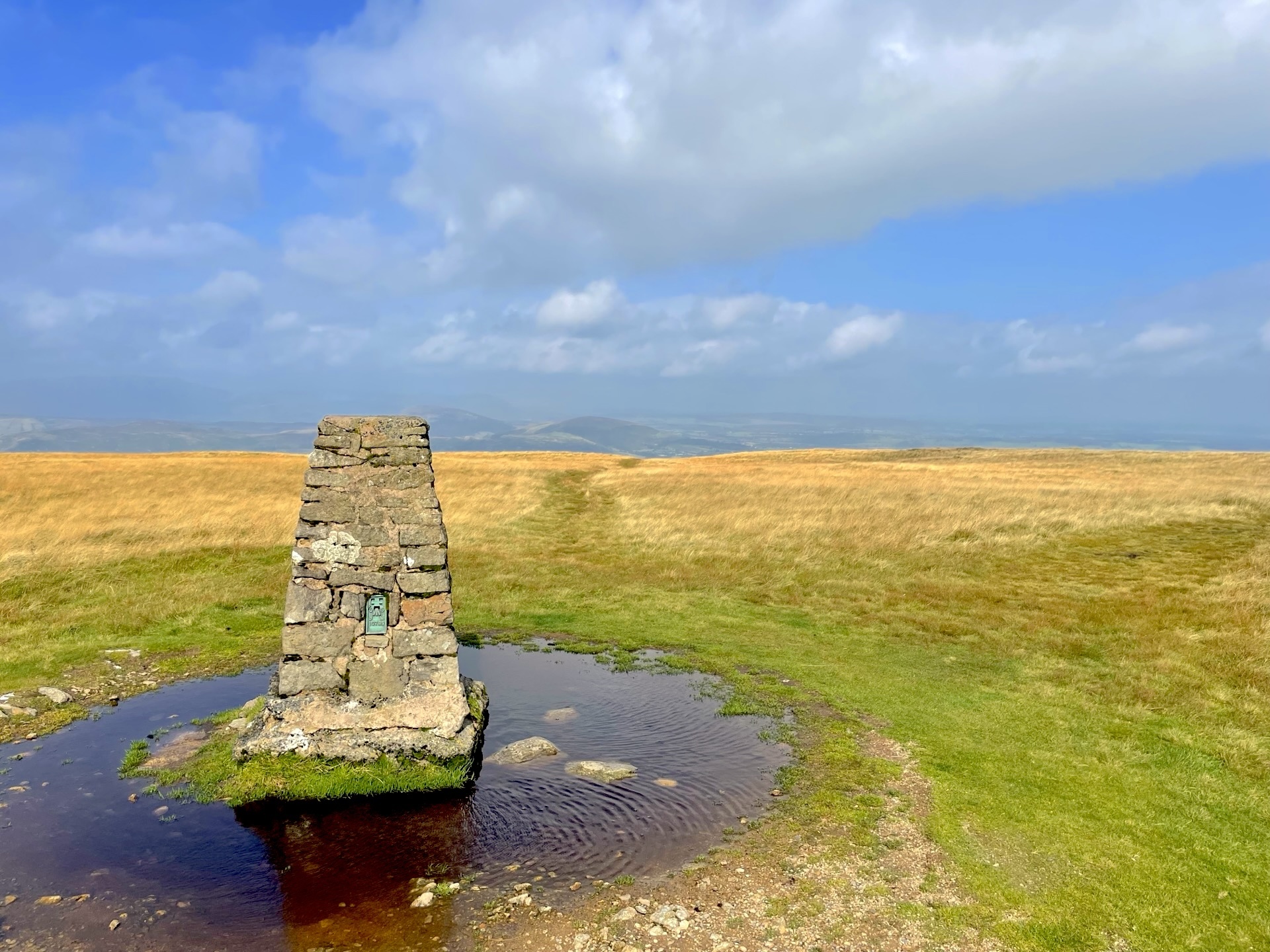
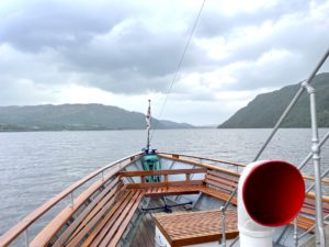
We got the 9:45 Steamer from Glenridding to Howtown, which takes about half an hour. Howtown is a small place without many amenities, so when we arrived we headed straight up into the hills. Most people were heading up Fusedale to join High Street on Wether Hill, but we decided to ditch the valley even sooner by heading straight up to Loadpot Hill. There are plenty of paths which start just behind the Leisure Centre – the one we took starts at the top corner of the sheepfold and, after being fairly overgrown for the first few hundred metres, opens out into a well-trodden and steep path straight up the side of the fell. If you’re not the sort of person who enjoys a slog up 45-degree grass I suggest taking the Fusedale route.
Stage 2: High Street
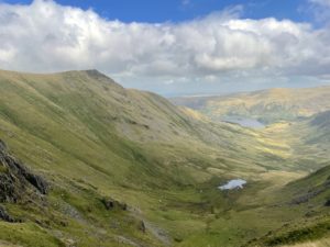
Turn south (right) along the ridge and follow it for seven kilometres, until you reach High Raise and Rampsgill Head, where the map suggests we should stick to our path and another one will join from the left. In reality, this feels like a relatively sharp right turn. The path curls round south again in a few hundred metres, and the views down into Riggindale are absolutely stunning. This is the highest point on the walk, known as Racecourse Hill (but often just referred to as High Street). Keep right on the high ground, and within a few kilometres you’ll spot the huge and magnificent beacon on Thornthwaite Crag. From a distance it just looks like a cairn, but as you get closer it becomes clear that it’s huge. From here, head west to Stony Cove Pike, before taking the more southerly path down to the Kirkstone Pass. It’s a surprisingly long way down to the pass, but with characteristically beautifully scenery and the rugged St. Raven’s Edge.
Stage 3: Pub? – The Kirtstone Inn
The greatest disappointment of this walk is the Kirkstone Inn – which is closed! They started a long-term renovation in 2021, which has clearly stalled. The pub a building site, with its wind turbines in the garden spinning merrily – for no benefit at all, with no pub to power. A real pity given its setting, but rumour has it that the pub could open “soon.”. The pub itself is a bus stop, with a relatively infrequent service (one every 2 hours in each direction when we were there). We arrived a few minutes after a bus so had some time to kill, so we decided to start walking back down the valley to Patterdale. It’s a picturesque valley with herds of grazing cows, only slightly marred by the road – and at the bottom the walk along the western shore of Brothers Water on the open valley floor is beautiful.
Leave a Reply